The Atelier Vicente and Exotic Plants
A Brief Introduction
 |
| Portugal |
 |
| Madeira |
 |
| Madeira |
22-April-2023
 |
| Funchal |
 |
| One of Funchal's many jacarandas |
The Atelier de Vicente
I am not sure how we heard about the Atelier Vicente. Perhaps we spotted it on a wander through Funchal’s narrow streets, maybe we
had a whisper from this chap…
 |
| Having a word with the silent waiter, Funchal |
…but probably not. He stands in the street all day and never talks to anyone.
Vicente Gomes da Silva set up his photography studio in 1865, it was not only the first studio in Madeira, it was the first in Portugal.
 |
| Atelier Vicente |
In the 17th and 18th centuries, scientists had noted that silver oxide turns black on exposure to light and struggled to use this knowledge to produce images. In the first half of the 19th century the work of Nicéphore Niépce, Louis Daguerre, Henry Fox Talbot and others had led to light-fast cameras, the ability to fix the negative image, print a positive image and then to print multiple images.
By the time Vicente opened his studio, exposure times had been reduced and a workable method of enlarging photographs existed. A
client requiring a portrait could be guaranteed a reasonably short sitting and,
a little while later, a likeness that was accurate and detailed. Vicente could
photograph a whole family, or an important individual with an appropriate backdrop.
 |
| The place to pose for a photo, Atelier Vicente |
He must have been good at his job, in 1860 he photographed the Empress Elizabeth of Austria and in 1901 his son Vicente Júnior photographed the Portuguese king, D. Carlos I and his queen D. Amélia de Orléans.
The atelier was a family business for four generations and finally closed in the 1970s. In 1979 it was bought by the city of Funchal and turned into Madeira's museum of photography.
Vicente’s dark room is still there, and there is also a collection of photographic equipment.
 |
| Dark room, Atelier Vicente |
There is also a collection of 2 or 3 million photographs. Those on display include late 19th century pictures of horse drawn goods
vehicles in the streets of Funchal with runners rather than wheels, a commercial
version of the toboggans that still bring tourists down from the Monte Palace
(if they are prepared to pay handsomely for a ride that goes nowhere useful.)
The oily laurel wood and the local cobbles work well together.
 |
| Part of the Atelier de Vicente collection |
There was also this oddity.
 |
| A family portrait |
I looked at it and had the unkindly thought that Madeira does produce a lot of rum. Lynne looked at it and said, ‘She’s dead.’ Apparently,
there was once a fashion of dressing up the recently deceased and posing them
in one last family photograph. Surely not in the UK? Well, yes, the
BBC ran a news item about it (how do the fashions of 150 years ago become ‘news’?)
and this is a link to their photos .BBC News Taken from Life. Warning, the high infant mortality rate back then means
that a lot of the photographs are of children propped up among their more
lively siblings. If this sort of thing upsets you, please do not click on the
link.
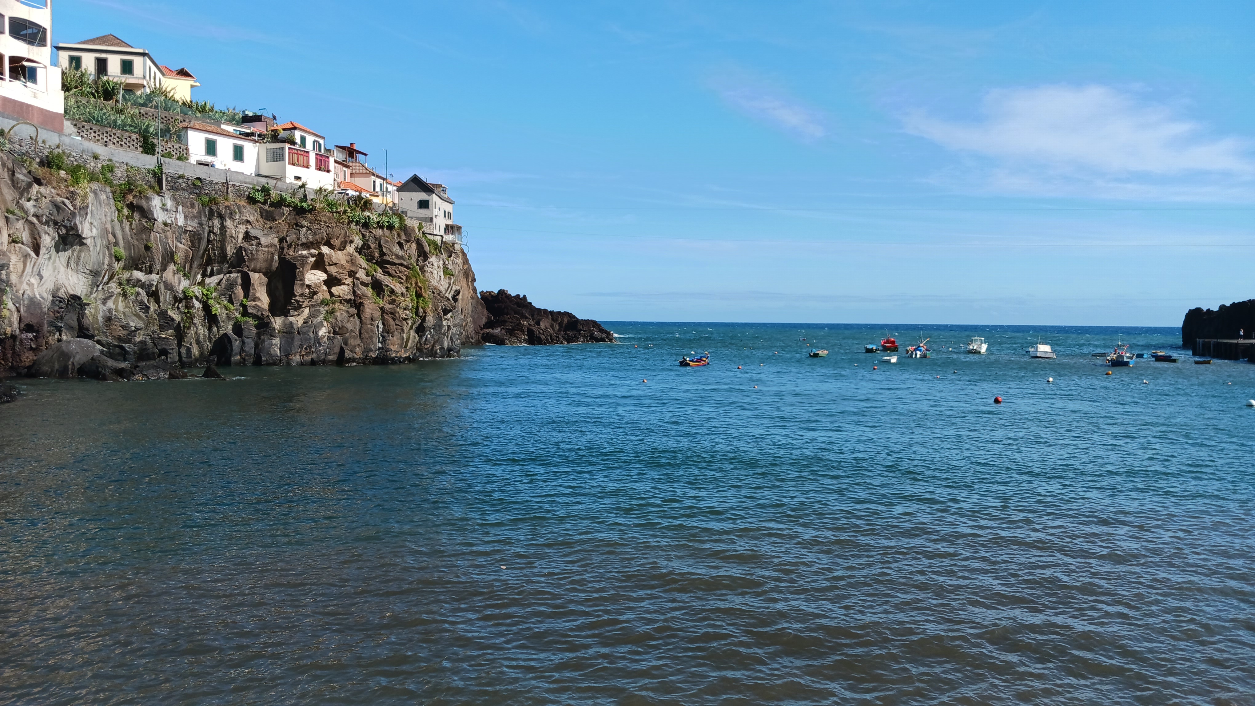
Rather more cheerfully, this section ends with a set of photographs of Winston Churchill painting at Câmara de Lobos - we visited a couple of days ago.
 |
| Winston Churchill at Câmara de Lobos |
The Madeira Botanical Gardens
Our walk ended at the taxi rank at the Café de Teatro Square.
 |
| The Cafe de Teatro - the taxi rank is the line of yellow cars left of picture |
Four days ago, we took the cable car up to the Monte Palace gardens. They are a private endeavour set up in their present form in
1987. Their star features are the Chinese and Japanese gardens tumbling down
the hillside.
The Madeira Botanical gardens opened in 1960 and specialise in groups of plants, Madeiran indigenous and endemic species,
succulents, palm trees and cycads and more. Although set on the hillside it is
nearer the city and the slope is less dramatic. The best way to get there
is by the relatively cheap taxis, our choice, or by bus, though it is accessible by a cable
car but only from Monte Palace.
It is neat and tidy and the flower beds are set in geometrical patterns, while many of the flowers themselves are big and showy. I
am not a gardener, but if I was, this is the garden I might like to have.
 |
| Madeira Botanical Gardens, there are several levels like this down the slope |
Perhaps it is best to let the plants speak for themselves (metaphorically speaking).
Begonia Grandis, or Hardy Begonia. There is little threat to its hardiness in Madeira's balmy climate.
 |
| Hardy Begonia |
Brunfelsia pauciflora is known in Portuguese as Ontem-hoje-e-amanhã (Yesterday, today and tomorrow.) A member of the nightshade family it is endemic to Brazil and is cultivated for ornamental use.
 |
| Yesterday, today and tomorrow |
We followed the path down…
 |
| The path down, Madeira Botanical Gardens |
…to the next level of cultivation….
 |
| The next level |
….where we saw Argyranthemum frutescens Marguerite of Paris Daisy – an odd name for a native of the Canary Islands. Garden Marguerites
are hybrids derived from this species.
 |
| Marguerites |
Salvia Spledens or Scarlet Sage originated in the warm, humid highlands of Brazil. Smaller
cultivars are popular in public gardens and shopping malls worldwide, though in
its wild form to grows to around 1.3m.
 |
| Salvia Splendens or Scarlet Sage |
The next level was a chocolate box of a garden. I like this format, though I can imagine others disagreeing. A garden is an artificial
creation, so why pretend it is in any way wild?
 |
| A chocolate box garden |
Down there we met Kumara plicatilis or Fan-Aloe, a native of South Africa’s Western Cape region…,
 |
| Fan Aloe |
…and Kalanchoe Tetraphylla one of a large genus of sun-loving tropical succulents mostly native to South Africa and Madagascar.
This one is known as Elephant’s Ears, though more for their shape than their
size.
 |
| Elephant's Ears |
Then we went on to the cactuses…
 |
| Lynne among the cactuses |
…and their spikey relatives.
 |
| Spikey trees |
We had now almost reached the bottom of the garden. The view over the fence showed us that we had come up a long way up from the coast – the sea is just visible on the far left of the photo. We were, though, still a long way below the Monte Palace Gardens.
 |
| Funchal |
There was little left to do now beyond taking photographs of Lynne beside a pond of terrapins…
 |
| Lynne and the terrapins |
…and the final plant, the remarkable Bottlebrush bush. This is one of the many species of Callistemon, native to Australia.
 |
| The Bottlebrush bush |
Return from the Botanical Gardens
Leaving the botanical gardens, we found a taxi waiting in the car park, and were soon back at the Café de Teatro. The driver joined
the queue at the taxi rank, and we had a glass of lunch.
 |
| A glass of lunch, Cafe de Teatro, Funchal |
Rehydrated, we set out to walk back to our hotel, passing through a park beside the road. Here we encountered more flora, including a Bird
of Paradise Flower (or Strelitzia). The genus was named by Joseph Banks in
honour Geroge III’s wife Queen Charlotte (of Mecklenburg-Strelitz). Banks was a
serious-minded scientist, but a bit of creeping never does any harm.
 |
| Bird of Paradise flower |
There are five species (I think this is strelitzia reginae). All are native to South Africa, though they travel well and since
1952 the Bird of Paradise flower has been the floral emblem of Los Angeles.
Nearby, past several more Jacaranda, was a Coral Tree (or Flame Tree, though both names are sometimes applied to other trees).
 |
| Coral Tree (Erythrina abyssinica) |
More exactly it is Erythrina abyssinica - a board attached to the tree told me, so it must be true. This one may be African
in origin but other species of this legume originate in Asia and the Americas.
Enough flora, so here is a representative of the fauna. Unlike the trees, this Madeiran Wall Lizard is a true local.
 |
| Madeiran Wall Lizard |
We did little in the afternoon, we were on holiday and do not have to spend all our time running round looking at things.
 |
| Holiday things, Madeira |
Our dining experience later can be found in Madeira: Eating and Drinking.
The next day we said a fond ‘goodbye’ to Madeira and enjoyed a thankfully uneventful journey home.
Introduction
Part 1: A First Look at Central Funchal
Part 2: Mercado and Monte Palace Gardens
Part 3: Funchal to Santana
Part 4: Eira do Serrado and Câmara de Lobos
Part 5: Photography Museum and Madeira Botanical Garden
Part 6:Eating and Drinking